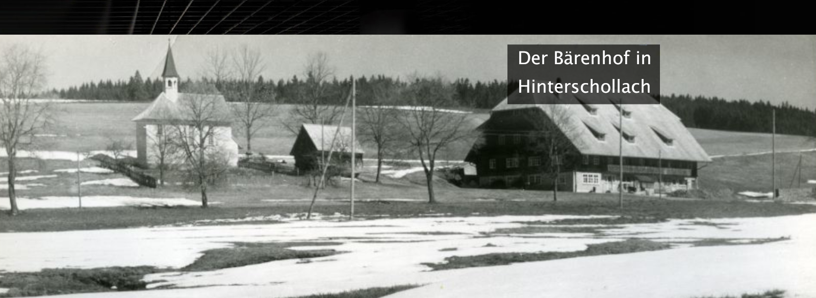


Bach - Wohnplatz

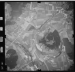
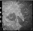
Luftbild: Film 76 Bildnr. 632, Bild 1 [Quelle: Landesarchiv BW] / Zur Detailseite

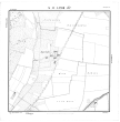
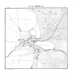
Kartenblatt SO LXXVII 67 Stand 1826 (Aigeltshofen, Isny im Allgäu, Albrechtshof, Isny im Allgäu, Bach, Isny im Allgäu, Haldenhof, Isny im Allgäu, Rangen, Isny im Allgäu, Rohrdorf), Bild 1 [Quelle: Staatsarchiv Ludwigsburg] / Zur Detailseite

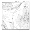
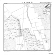
Kartenblatt SO LXXVIII 67 Stand 1826 (Bach, Isny im Allgäu, Endberg, aufgeg. in Großholzleute, Isny im Allgäu, Furtenwies, Isny im Allgäu, Gollehof, Rangen, Isny im Allgäu, Rangenhalden, Isny im Allgäu, Rengers, Isny im Allgäu), Bild 1 [Quelle: Staatsarchiv Ludwigsburg] / Zur Detailseite

Kartenblatt SO LXXVII 68 Stand 1826 (Bach, Isny im Allgäu, Rangen, Isny im Allgäu, Rohrdorf), Bild 1 [Quelle: Staatsarchiv Ludwigsburg] / Zur Detailseite

Kartenblatt SO LXXVIII 68 Stand 1826 (Bach, Isny im Allgäu, Haslach, Isny im Allgäu, Rangen, Isny im Allgäu, Rohrdorf), Bild 1 [Quelle: Staatsarchiv Ludwigsburg] / Zur Detailseite

Luftbild: Film 76 Bildnr. 633, Bild 1 [Quelle: Landesarchiv BW] / Zur Detailseite
| Regionalauswahl: | |
|---|---|
| Typauswahl: | Ortsteil – Historisches Ortslexikon |
| Typ: | Wohnplatz |
| Liegt auf Gemarkung: | Rohrdorf |
Suche  leobw
leobw

Verknüpfte Inhalte
- Orte (0)
- Personen (0)
- Objekte (6)
- Themen (0)
Teilen
leobw